
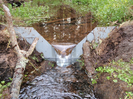
 A common problem in using Weirs to measure water flows is reading the flow level too close to the weir plate. To understand why this is a problem we need to look at what happens as flow travels through the weir pool and then over the weir crest.
In a properly formed, uniform weir pool, the water surface is smooth and level. It is in this area - at least three times the maximum anticipated head upstream of the weir - where the point of measurement is located. At here, or any point upstream in the weir pool, the water surface is at the same level.
Closer than this, though, and the water level begins to drop as the flow is accelerated from a subcritical (Fr<1) to a supercritical state (Fr>1). The closer to the weir, the lower the water level.
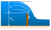
In addition to dropping along the length of the weir pool, the water surface begins to drop from the centerline of the weir crest outwards - with the water level at the sides of the weir pool higher than at the centerline of flow. This contraction is not as pronounced as that along the length of the weir pool, but it is still present.
As a result, as flow accelerates down the weir pool the water level past the point of measurement (closer to the weir) increasingly under represents the actual flow rate over the weir. The flow discrepancy is greatest at the upstream face of the weir.
For installations were a level measurement must be made at the weir face, it should be taken as far away as possible from the weir crest. The weir face reading will still under represent the true flow rate, but it will give a guideline as to how the flow over the weir is trending.
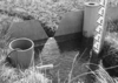
Images: Winter River - Tracadie Bay Watershed Association, eCourses, Married with Bikes: Adventures in Utah and Beyond
Related Blog Posts
-
Expert Insights
-
Expert Insights
-
Expert Insights


Explore more insights in our blog.
LOCATIONS IN ATLANTA, GA & BOISE, ID